Ⅰ. Product Overview
The radar is primarily designed for low-altitude and ground surveillance. Utilizing digital beamforming technology, it achieves low equivalent omnidirectional radiation power while maintaining high search data rates. The system incorporates adaptive clutter suppression and pre-tracking technology for dense target detection, delivering exceptionally low false alarm rates. It can automatically track and build flight paths for over 500 target groups, providing highly accurate positioning information.

Ⅱ. Key Features
1. Detect-&-Track
Automatic track initiation within 10 km on a 0.01 m² drone—no secondary confirmation needed.
2. 360°×60° Volume
Single sensor covers all low-level airspace up to 3 000 m AGL; elevation –3° to +60° without mechanical tilting.
3. 0.3° Angular Accuracy
outperforms civil ADS-B; directly cues EO/IR or counter-UAS effectors.
4. 500 High-Density Tracks
maintains stable tracks on swarm or formation flights.
5. Ultra-Low False Alarm
<1 per hour; 32-class clutter map plus AI learning rejects wind turbines, waves and rain cells.
6. Low Radiation
≤50 W EIRP, human-safe for permanent urban deployment.
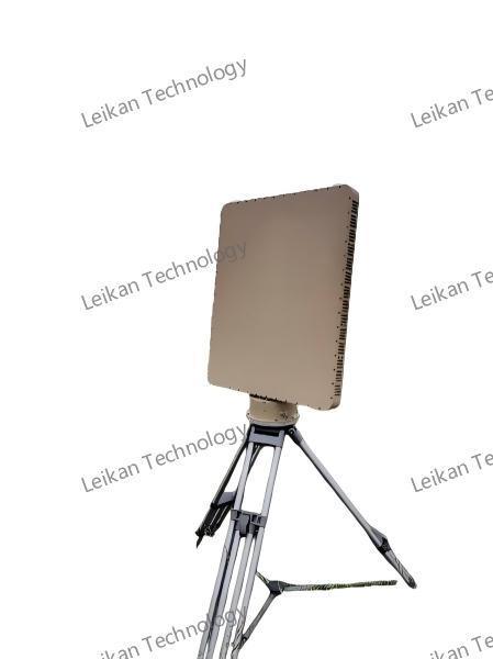
7. 55 kg Lightweight / IP67
set up by one person in 10 min on a pickup; operates –40 °C to +55 °C.
8. Data-as-a-Service
standard JSON/ASTERIX output; built-in record & replay; plug-and-play into any C2, ADS-B or GIS.
9. Future-Proof
Software upgrade to 60 rpm spin rate; optional Remote-ID and AI model classification without hardware change.
Ⅲ. Specifications
|
Parameter
|
Value
|
|
Frequency band
|
X-band 9.8–10 GHz
|
|
Elevation / Azimuth
|
–3°–60° / 0–360°
|
|
Detection range
|
≥10 km (quadcopter 0.01 m²)
|
|
|
≥20 km (medium fixed-wing 1 m²)
|
|
Max altitude
|
≥3 000 m
|
|
Blind zone
|
≤50 m
|
|
Range/Angle accuracy
|
≤5 m (RMS) / ≤0.3° (RMS)
|
|
Simultaneous tracks
|
≥500
|
|
Tracking speed
|
1–150 m/s
|
|
Antenna rotation
|
30 rpm (upgradeable 60 rpm)
|
|
Data interface
|
Gigabit Ethernet UDP
|
|
Environmental
|
–40 °C to +55 °C
IP65 (main unit IP67)
|
|
Power consumption
|
≤400 W
|
|
Weight
|
≤55 kg
|
|
Dimensions
|
650 × 815 × 93 mm
|
|
Transmit power
|
≤50 W
|
Ⅳ. Product application scenarios
1. Critical-site security
Real-time alert and track relay around airports, power plants, government compounds and stadiums.
2. Border & coastal anti-smuggling
24 h surveillance against ultralights, para-motors and small fixed-wings; cue EO/jammers for interdiction.
3. Major-event protection
Rapid vehicle-mount deployment for marathons, concerts, national parades; 10 min tear-down after event.
4. Urban grid management and control
Multi station networking to achieve a low altitude "one network" from 0 to 3000m, connected to the security command center.

 Ihre Nachricht muss zwischen 20 und 3.000 Zeichen enthalten!